Kosi-Seemanchal
Kosi-Seemanchal is in the Northeastern part of Bihar. It is a subregion within the larger cultural region of Mithila. It consists of the Kosi and Purnia divisions. It has seven districts — Araria, Madhepura, Saharsa, Supaul, Purnea, Kishanganj, and Katihar.
The region is known for its distinct demographic, which includes a high fraction of the Muslim population and overall socioeconomic backwardness.
Geography
Bihar’s Kosi-Seemanchal region is prone to floods almost every year, mainly due to its geography and lack of proper and planned river embankments. Rivers like the Kosi and Mahananda frequently overflow, submerging farmland, destroying homes, and displacing thousands.

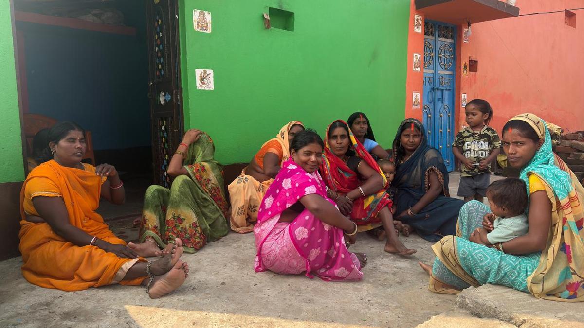
Nearly 90% of Seemanchal’s population live in rural areas, and many are landless labourers. With limited local work, a large number of them migrate seasonally to Punjab and Haryana to work on farms. The region was particularly affected in the recent SIR exercise as the migrants stay away for months, making it hard to complete official paperwork in the window provided by Election Commission.
In a nutshell
- Seemanchal was worst hit by the panic of Special Intensive Revision (SIR) of electoral rolls.
- The constant flooding from the Kosi remains a major problem for the people.
-
Kishanganj has the highest Muslim population (68%), followed by
Katihar (44%), Araria (43%), and Purnia (38%). The region has a
high Muslim population with backward classes, including Yadav.
M+Y equation of RJD suits the region.
 The percentage of the Muslim population as per the 2023 caste survey.
Election trends
Congress has kept its hold in Kishanganj, while RJD and JD(U)/LJP have alternated in nearby areas. In 2020, AIMIM gained ground in places like Bahadurganj and Baisi, showing a rise in community-based voting. Many seats see frequent leadership changes, as voters often switch between national, regional, and independent candidates depending on local issues and popular leaders.In Lok Sabha elections, the fight has always been intense between the national and regional parties.
Mithila (North Bihar)
The region is renowned as one of the country's cultural hubs. This part of Bihar prides itself on the Mithila language, which has a rich literary history. The region is world-renowned for its folk art, Madhubani painting (also known as Mithila painting).

Mithila is considered a sacred land for the Hindus and Jains. Sitamarhi, believed to be the birthplace of Sita in Ramayana, is part of this region.
Geography
This fertile, alluvial plain is traversed by several rivers, including the Gandak, Kosi, and Bagmati, which deposit rich silt but also cause frequent flooding.
The State government’s caste survey numbers, released in October 2023, showed that Darbhanga was among the top 5 districts with high Muslim populations, while Madhubani was among the top 10.
In a nutshell
-
The river that is known for enriching lives around the region
also brings devastation. The region is prone to annual floods,
particularly due to the shifting courses of waterways such as
the Kosi.
 An aerial view shows a train passing by an area partially submerged in the floodwaters, in Darbhanga district, on Oct. 4, 2024. PTI
 - Unemployment, lack of industry and infrastructure led to the Mithila State Movement, born out of the feeling of political neglect and discrimination by the Bihar government over the years.
Election trends
Major constituencies include Valmiki Nagar, Ramnagar, Bettiah, Nautan, Raxual, Motihari, Sheohar, Madhubani, and Darbhanga.
The political landscape in subsequent elections has shown a clear dominance of the BJP and JD(U), especially in the urban and semi-urban seats like Darbhanga, Motihari, and Bettiah. The BJP has maintained a consistent winning streak in most of these constituencies since 2010, which shows a stable and loyal voter base.
Kosi & Anga (East–Southeast Bihar)
"Kosi" refers to the Kosi River, known as the "Sorrow of Bihar" for its destructive floods, while "Anga" was an ancient kingdom in the region that included parts of modern-day Bihar, Bengal, and Jharkhand. These regions are defined by a complex mix of caste dynamics, the political influence of specific leaders, and significant issues like unemployment and migration.
Geography
The Kosi–Anga region of Bihar, located in the eastern and southeastern parts of the State, is defined by the Kosi River basin and the ancient Anga plains.The region has a mix of Yadav, EBC, and Muslim voters, making it strategically important for both the NDA and the Mahagathbandhan alliances. Major constituencies to watch in the upcoming Bihar Assembly elections include Supaul, Mahishi, Simri Bakhtiarpur, Alamnagar, Bhagalpur, and Banka.
In a nutshell
-
Floods remain a major issue in the region. Flood control measures,
such as embankments, have often proven inadequate. A more
integrated approach is needed to manage the river's dynamic
nature. This leads to other issues, including disrupted
livelihoods and high migration rates.
 Villagers who left their homes along the Kosi River looking for safer places rest at a way side relief camp at Birpur Bihar. File photo. PTI
 - Issues like illegal sand mining, irrigation, and environmental degradation have strong local relevance.
Election trends
The major trend that emerges from the key seats in the region is “party loyalty”. The JD(U) has maintained dominance in Nirmali, Phulparas, Mahishi, and Alamnagar, winning all three past elections, indicating a deep-rooted support base among voters in these areas. The RJD has similarly held Simri Bakhtiarpur and Madhepura, reflecting its continued influence in parts of the Kosi and Anga belt. Pipra, while remaining with the BJP, saw a change in the individual candidate in 2020, suggesting that voter allegiance lies more with the party than with the candidate.
Saran & Champaran (West–Northwest Bihar)
Dominated by rigid caste-based loyalties, particularly between Yadavs (RJD) and a consolidation of other dominant and backward castes (BJP). Champaran's legacy as a site of social protest and mass awakening continues to inspire new political formations, while Saran exemplifies the deep-rooted influence of caste and charismatic leadership.
Geography
The Saran and Champaran regions of northwest Bihar form a fertile and strategically important belt of the state. Saran comprises Saran, Siwan, and Gopalganj districts, while Champaran is divided into East and West Champaran. Historically and economically, Saran and Champaran are vital to Bihar, combining agricultural prosperity with geographic challenges like floods and erosion. Major seats in the region include Chapra, Garkha, Siwan, Bettiah, Ramnagar, Motihari, Narkatiaganj.
In a nutshell
- The region faces an acute problem due to the annual floods, leading to soil erosion in both regions.
- The high dependency on agriculture makes life difficult for the people as they face issues such as damage to crops, homes and basic infrastructure.
- West Champaran specifically faces the problem of recurring floods due to overflow from Nepal. The area also suffers from poor infrastructure, which includes poor condition of roads and weak railway connectivity.
Election trend
The political trends show clear patterns of party influence and changing voter loyalties. The Bharatiya Janata Party (BJP) has steadily strengthened its presence, especially in urban and semi-urban constituencies like Bettiah, Ramnagar, Motihari, and Narkatiaganj, winning repeatedly in some areas and building a reliable voter base. Meanwhile, the Rashtriya Janata Dal (RJD) has bounced back in its traditional strongholds, including Chapra, Garkha, and Siwan, recovering seats it had lost earlier and demonstrating that voter preferences can shift over time. The Janata Dal (United) [JD(U)], once dominant, has lost influence in many of these constituencies, showing a decline compared to its earlier performance.
Central Bihar (Magadh & Bhojpur)
The Magadh Division, which includes districts like Gaya, Jehanabad, and Aurangabad, holds a significant number of Assembly seats. The modern Bhojpur region (often including the current Bhojpur district and surrounding areas) is an important part of the state's political landscape.

Geography
It is part of the South Bihar Plain. The region is drained by the Ganga River to the north, and its southern tributaries, most notably the Son (to the west), Punpun, and Phalgu rivers. The southern boundary borders the Southern Plateau Region (an extension of the Chota Nagpur Plateau). This southern fringe is characterized by numerous small, isolated, ancient residual hills made of hard rocks (gneiss, schist, granite). Notable examples include the hills of Gaya (like Pretshila and Ramshila) and the Rajgir Hills (in Nalanda, which is geographically near the historical Magadh core). Key constituencies from the region are Patna Sahib, Patna City, Arrah, Buxar, Agiaon, Buxar, Rajpur, Ghosi.
In a nutshell
- The central Bihar region, which mainly falls on the Gangetic plains, is riddled with the issue of floods almost every year.
- However, the southern central Bihar also faces situations of chronic drought due to a lack of irrigation facilities and erratic rainfall in the region.
- Poor maintenance of canals make Son river less utilised.
- Unemployment and migration due to lack of jobs remain prevalent in the region.
Election trend
BJP has stayed strong in Patna Sahib and Patna City, winning all three recent elections there. Arrah has gone back and forth between BJP and RJD, showing it’s more competitive. Buxar and Rajpur (SC) have switched between BJP, INC, and others, while Agiaon (SC) and Ghosi have leaned toward RJD and left parties like CPI(ML)(L). In short, cities like Patna are mostly BJP strongholds, but rural and reserved seats are more unpredictable, with different parties winning at different times.